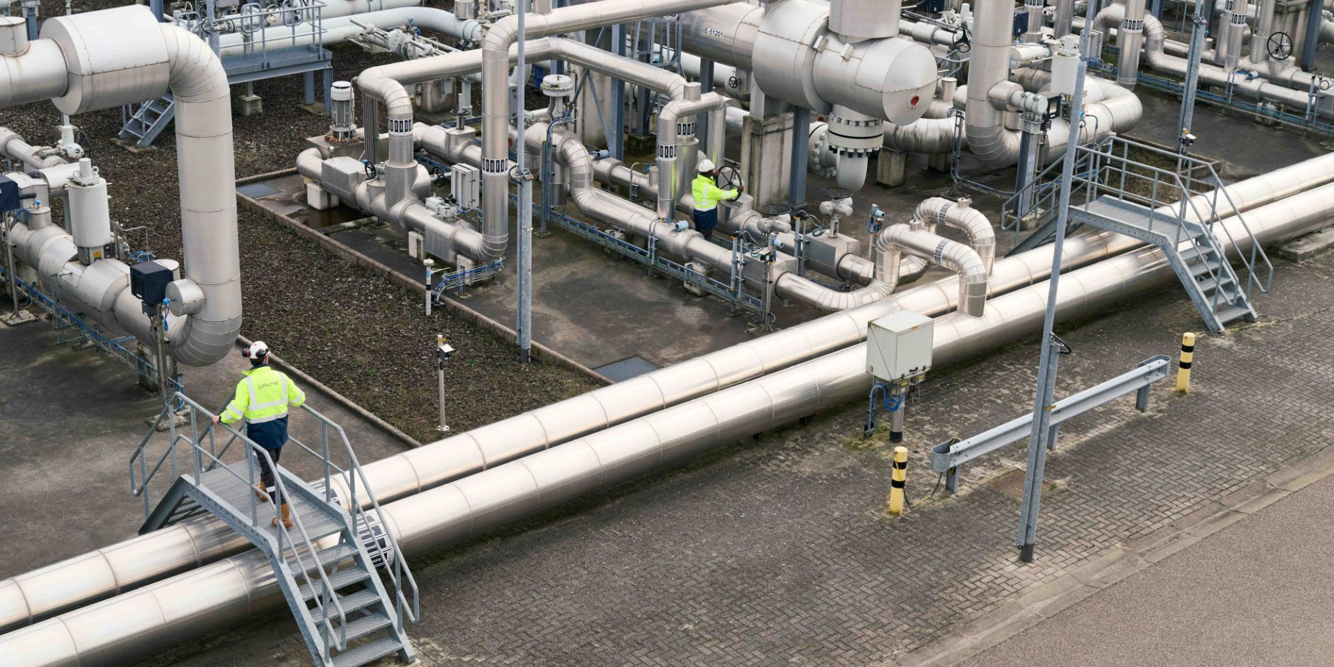
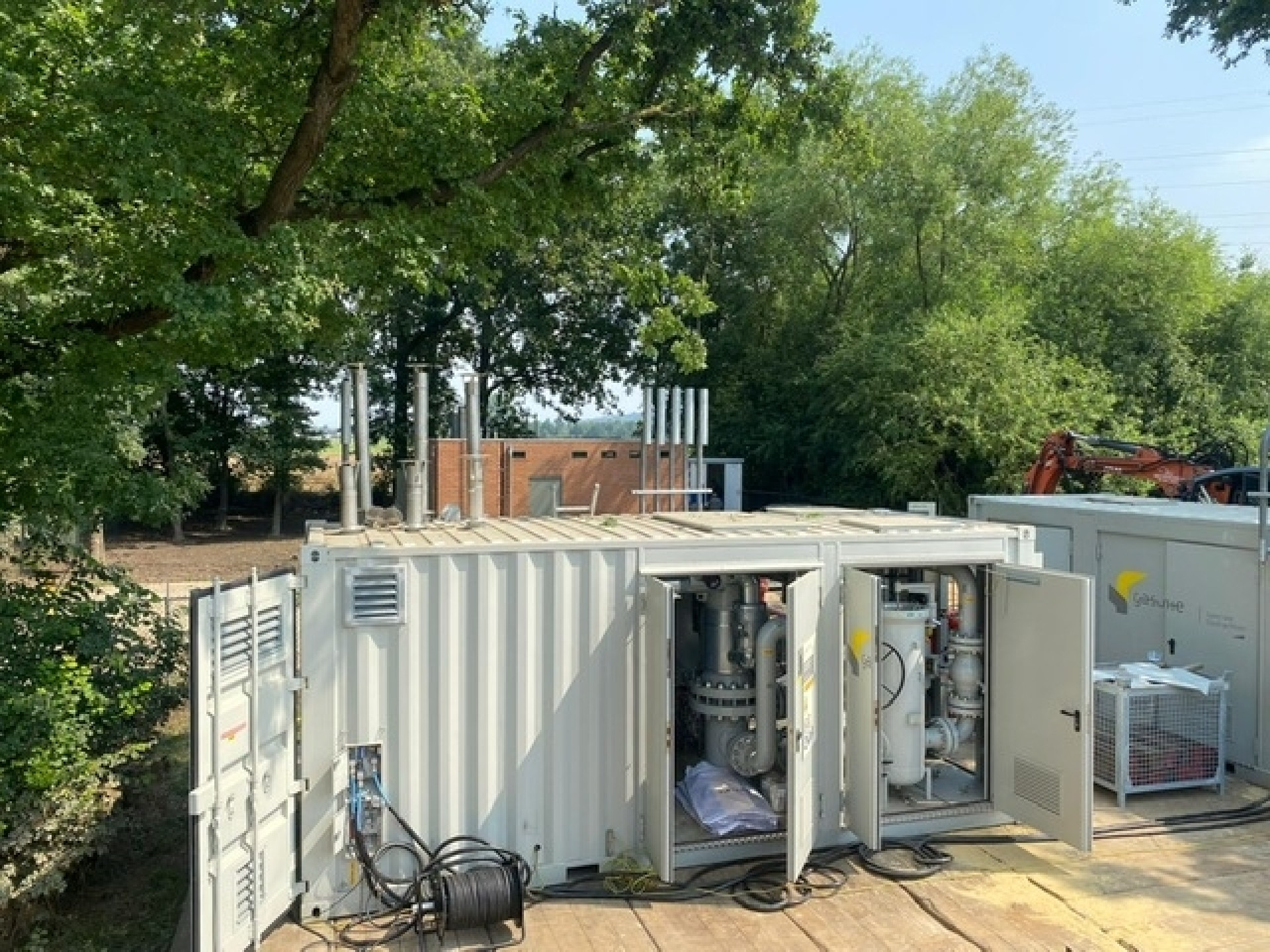
We protect our assets against the impacts of climate change
In our climate change adaptation policy, we have identified the following climate risks:
Extreme precipitation
Drought

Heat
Flooding

Gasunie’s assets are and will continue to be designed with safe, long-term use in mind. Identifying weather-related and climate-related risks to our assets and the purpose they are supposed to serve, and defining measures to take in response, is not something new for us. The climate change adaptation measures we design are, therefore, mainly intended for new-build assets and existing assets that will be renovated. We will be checking the existing network for the degree of climate change adaptivity, both on a local and regional level.
4.1 New builds and renovations
Measures on a national level for new-build assets and assets for renovation will be included in our Gasunie Technical Standards for future new-build and renovation projects. For specific regional measures, these measures will be recorded in the project documentation.
4.2 Current network
We will be running national and regional stress tests to see to what extent the existing network is sufficiently robust to remain fit for purpose when the climate changes further. These stress tests can be conducted in partnership with other network operators and as needed in each of the Netherlands’ emergency services/crisis management regions (referred to as ‘Safety Regions’).
The necessity of climate change adaptation
In July 2021, Gasunie Transport Services (GTS) was faced with flooding in the southern tip of Limburg province for five consecutive days following extreme rainfall upstream in Germany. Two GTS gas receiving stations, one in Itteren and one in Meerssen, were damaged and fouled by flooding.
Around 35 sites were inspected during those days, some even several times a day. As a precaution, roughly ten of them were de-energised, while others were put on standby.
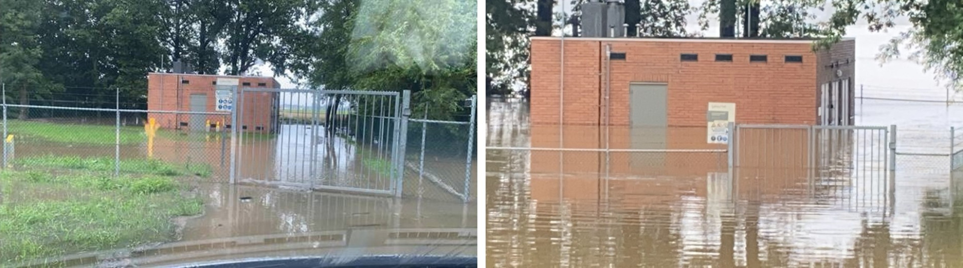
The Itteren and Meerssen gas receiving stations were fouled and damaged so severely that professional cleaners had to be called in. Various repair work was also needed, as was an extensive inspection.
Thanks to outstanding interventions by our employees and emergency services on-site and the deployment of a mobile gas receiving unit, the event did not result in transmission disruptions.
4.3 Climate adaptation risks
In our climate change adaptation efforts, we draw on the scenarios from the Climate Change Impact Atlas compiled by the Royal Dutch Meteorological Institute. This Climate Change Impact Atlas uses the same data as the national risk maps, supplemented with possible further climate change scenarios. When it comes to choosing scenarios, we align with Netbeheer Nederland’s methodology. We evaluate the scenarios on an annual basis to see if they are still sufficiently up to date.
To identify risks and define measures, we set availability requirements related to the four climate risks categories for each asset. The relevant scenarios (vertical) and climate risks (horizontal) are specified below. Since we are an asset operator on a national scale, these scenarios will lead to regional differences, meaning that some measures will have to be applied on a regional level.
Classification of climate-related hazards
| Temperature-related | Wind-related | Water-related | Solid mass-related | |
|---|---|---|---|---|
| Chronic | Changing temperatures (air, fresh water, seawater) | Changing wind patterns | Changing precipitation patterns and types (rain, hail, snow, ice) | |
| Heat stress | Precipitation and/or hydrological variability | Coastal erosion | ||
| Temperature variability | Ocean acidification | Soil degradation | ||
| Permafrost thawing | Saline intrusion | Soil erosion | ||
| Rising sea levels | Solifluction | |||
| Water stress | ||||
| Acute | Heat wave | Cyclone, hurricane, typhoon | Drought | Avalanche |
| Cold wave/frost | Storm (including blizzards, dust storms and sandstorms) | Heavy precipitation (rain, hail, snow/ice) | Landslide | |
| Wildfire | Tornado | Flood (coastal, fluvial, pluvial, ground water) | Subsidence | |
| Glacial lake outburst |
From 2024, we will include the relevant climate scenarios in the bowtie analyses16 to be conducted every five years. The focus of current bowtie analyses will, therefore, be shifted from national and category to local deployment.
Our climate change adaptation policy has not yet been developed sufficiently to be able to use it as a basis to describe risks and opportunities, quantify impacts, and formulate and maintain measurable goals. Gasunie intends to further flesh out this policy over the coming two years.
In 2023, there were no transmission interruptions or safety incidents caused by extreme weather.
16 A bowtie analysis is a qualitative risk assessment methodology. It offers a visual overview of the causes and impacts of an unwanted event and the measures to take to prevent or control that event. The diagram looks like a bow tie, with the unwanted event in the centre. The causes (threats) are listed to the left and the impacts to the right. Between these two sections, there are preventive and mitigating measures that can be taken to control the risks. This is a useful methodology because it delivers a clear overview of complex risks and the associated control measures.